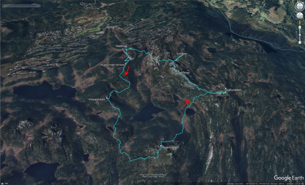
A nice roundtrip, high above Nesbyen Høgelinatten and Syningen, seen from Sjåfunatten Index Date Peak Height PF Location WCP/FP MAP 06.06.24 Ålvassyningen Nordøst 1083m 58m Nesbyen, Norway MAP 06.06.24 Kopparskallen Sør 1080m 4…
Thursday: After a nice party with colleagues in Kongsberg, the night before, I was ready for another working day. The agenda was cleverly crafted, as we didn't start until noon today. A lot of people welcomed that. I was up early and did some sightseeing in Kongsberg before the work sessions began.
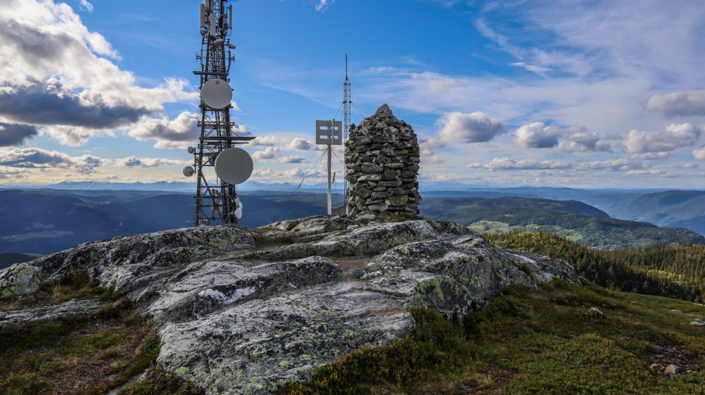
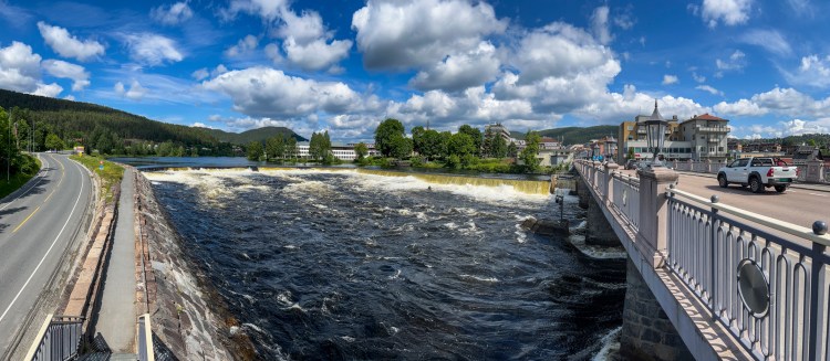
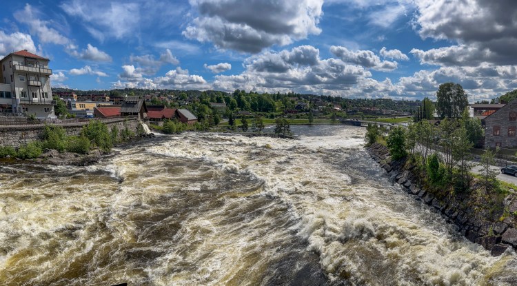
Sightseeing in Kongsberg
Sightseeing in Kongsberg
My boss dismissed me at 15:00, 30 minutes ahead of the schedule. He knew that I had a long drive to Sogndal ahead of me and he also knew that I really wanted to bag a couple of tops on my way home.
As we would be getting guests this evening, I allocated two hours for hiking, and then I would arrive in Sogndal around 22:00. The original plan was for me to get there on Friday, but I knew that Anne really would appreciate if I came on Thursday evening.
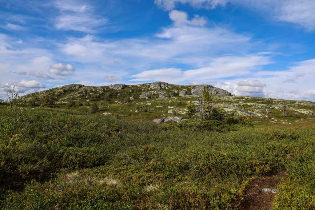
I looked long and hard at the map, looking for a place where I could get two tops in one hike, within two hours. Then I found Høgelinatten and Sjåfunatten near the Natten skiing centre above Nesbyen.
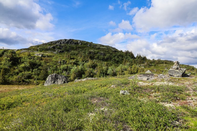
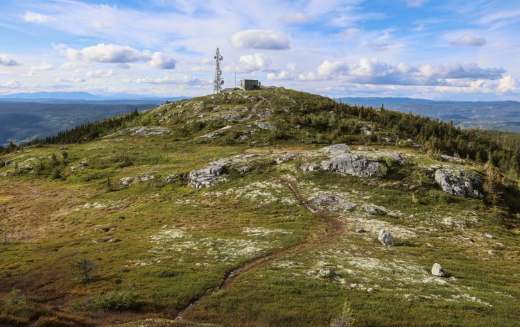
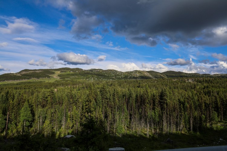
Natten skiing centre
This hike seemed to be around 10km, across 6 tops, which meant that I would have to keep a pace of 5km/h to be back in 2 hours. I decided not to include the time it took to drive up to the skiing centre…
I drove up a road that I'm not sure I was meant to drive but found parking at 1000m elevation. That would give me an excellent starting point. I headed up to the ski-lift to orientate myself about what was ahead of me.
Here we go...
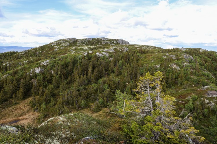
Høgelinatten was roughly as far away as I had imagined. Better get on with it. I set up a good pace.
Høgelinatten ahead
The first top was a nameless top that Peakbook.org calls Ålvassyningen Nordøst (1083m).
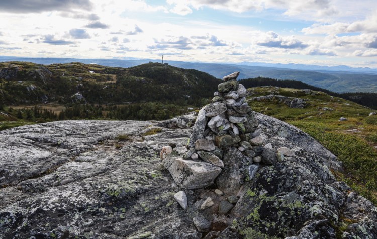
Of the 6 tops - only 2 were of real interest - with a prominence of > 100m
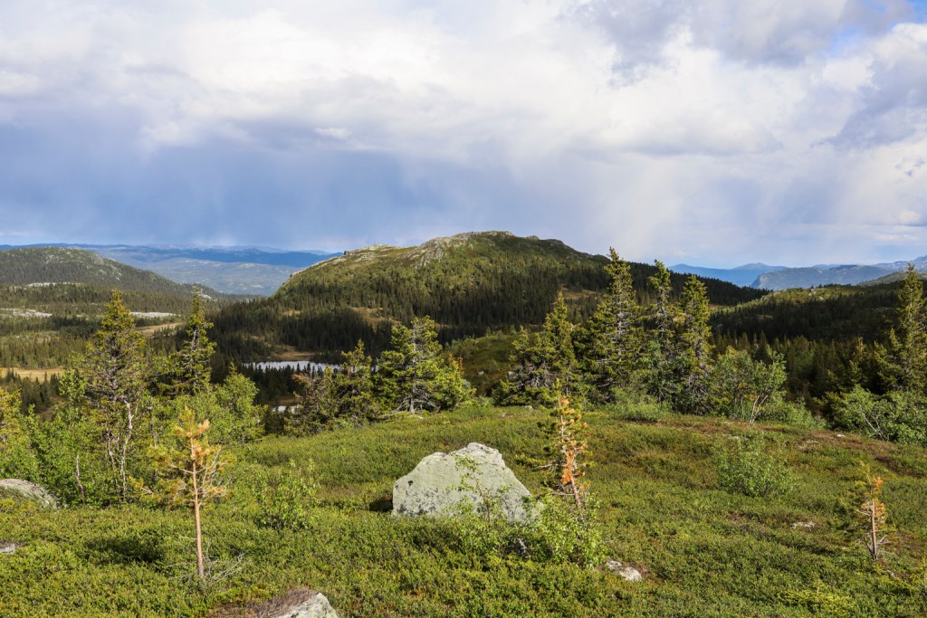
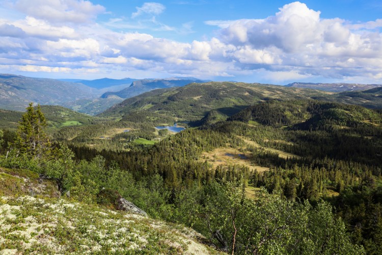
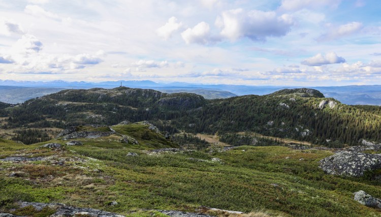
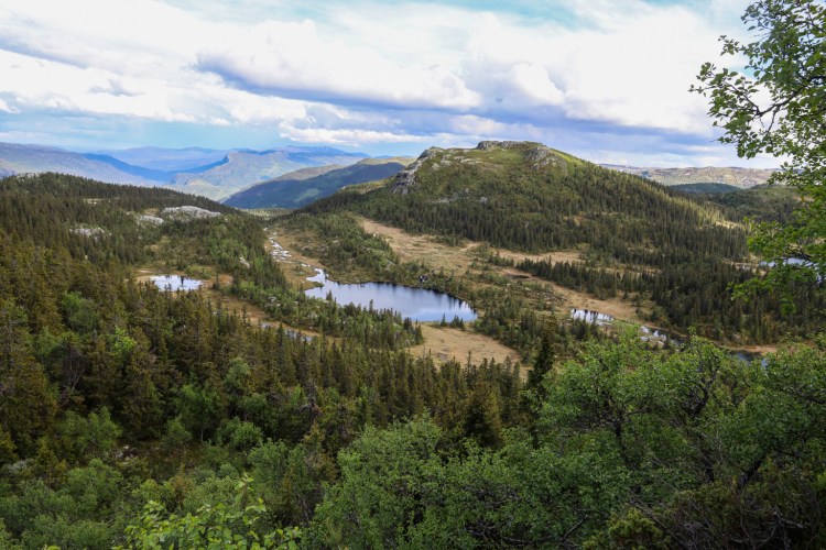
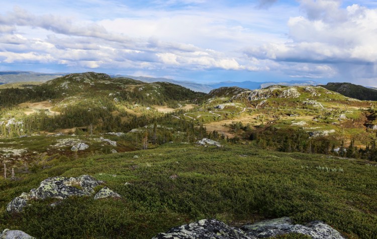
The next top was another nameless top that Peakbook calls Kopparskallen Sør (1080m). From here, I had a good overview of the route ahead of me.
The route ahead of me
I had already spent 20 minutes of the 120 I had allocated. It looked like I had a long hike ahead of me. Would 2 hours be enough? I just had to trust the numbers – 5km/h.
Høgelinatten - slightly closer
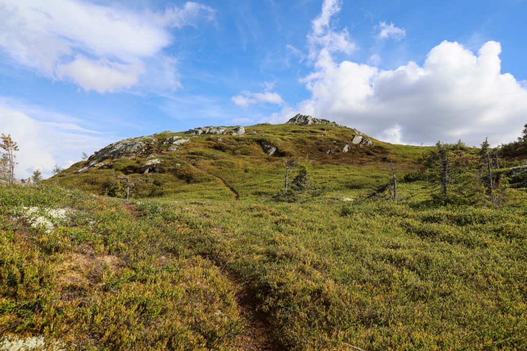
So far, I had been able to follow a vague path. The path took me down to a meadow below Høgelinatten, but then I lost sight of the path.
Høgelinatten ahead
After a short off-trail pitch, I found the path again and kept steady progress towards the top.
Almost up on Høgelinatten
It was important for me to be down by the meadow between Høgelinatten and Sjåfunatten within the hour, as I considered that meadow to be the halfway point.
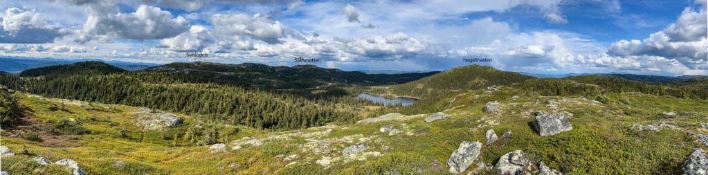
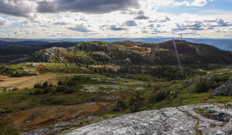
45 minutes had passed when I reached the top of Høgelinatten. I had a clear view towards Sjåfunatten and Syningen, but the question was if there would be a path to follow?
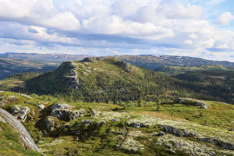
Syningen (left) and Sjåfunatten seen from Høgelinatten
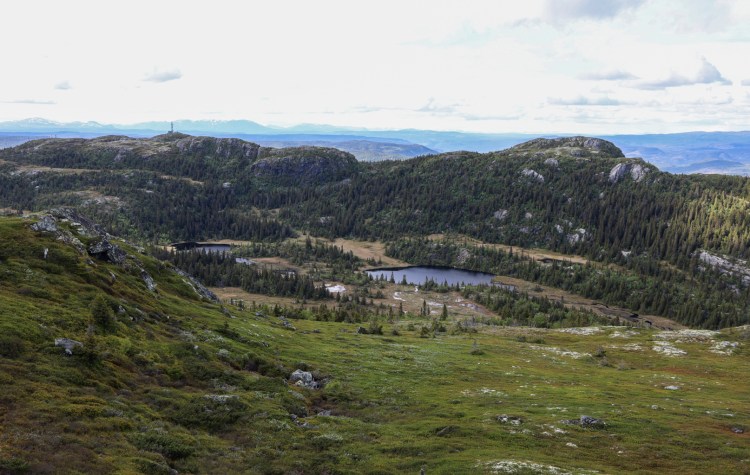
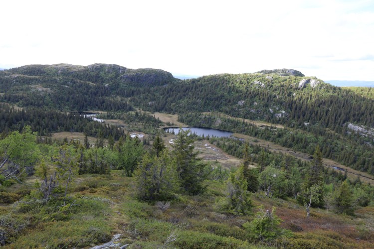
I didn't see a path in that direction and didn't bother looking for one either. I hiked off-trail down in directio of the pass between Syningen and Sjåfunatten. This route seemed to give me least problems in terms of the wetlands.
Aiming between the lakes and then up to the pass
I hiked off-trail up the Syningen – Sjåfunatten ridge, where I found a path. The top of Sjåfunatten came soon into view.
Sjåfunatten ahead
I had now been hiking 1h:15m and seemed to be on good track, with respect to my goal.
On Sjåfunatten - happy but still focused...
The Syningen part of this mountain massif has two tops. The first one is nameless and Peakbook calls it Syningen Sørøst (1106m). I thought the path would lead me straight to it, but I made a wrong decision and ended up with some cumbersome off-trail terrain near the pass between Syningen and Sjåfunatten.
Syningen ahead
Once that got sorted out, I was back on the path and now I was moving quite fast.
On my way up from the pass
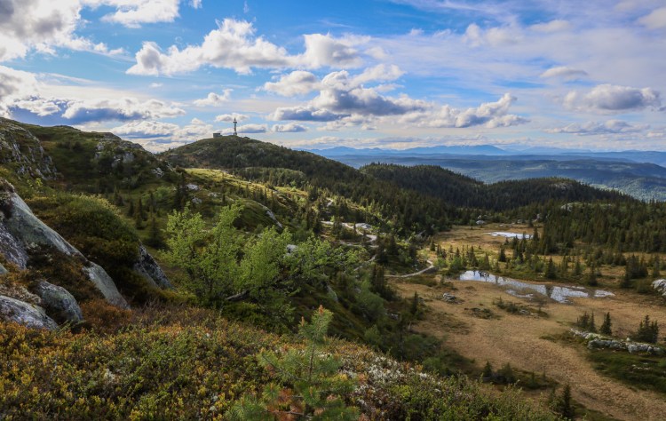
I blazed across the nameless top and had Syningen ahead of me. This was not a top I had to visit, and it wasn't a pf100 top either. But I thought I was ahead of schedule and took the time to visit it.
Syningen
I really like the terrain on the west side of Hallingdalen. I'll probably like the east side also, once I start hiking mountains there…
On top of Syningen
Syningen offered biking trails. They seemed to be going all over the place and so I decided not to pay too much attention to them. I just sat a course towards the car and if I found paths, that would be a bonus.
Never mind...
When I came down to one of the cabin roads, I could see that there was a path that would take me back up to the ski-lift. But I decided to go off-trail, straight towards the car instead. I was back at the car after 1h:53m, which I really appreciated. I had been keeping an average speed of 5km/h (and then some) and was en route for being back in Sogndal shortly after 22:00.
Trip statistics: 9,2km, 620 vertical meters, 1h:53m Pictures (Canon EOS RP/Iphone 13 Pro Max) from the hike:
Sightseeing in Kongsberg
Sightseeing in Kongsberg
My roundtrip hike
Here we go…
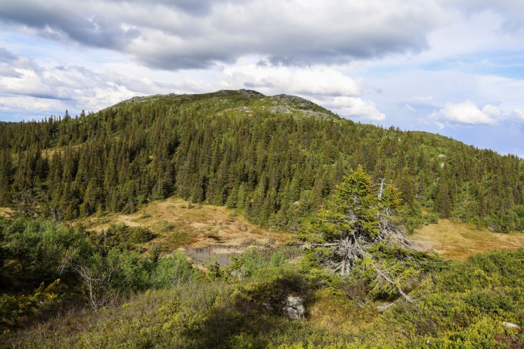
Høgelinatten ahead
Of the 6 tops – only 2 were of real interest – with a prominence of > 100m
Looking back on the ski-lift
Syningen, across the valley
The route ahead of me
Høgelinatten – slightly closer
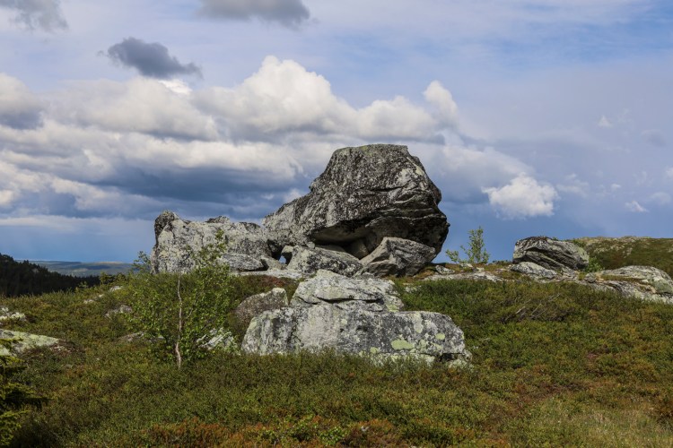
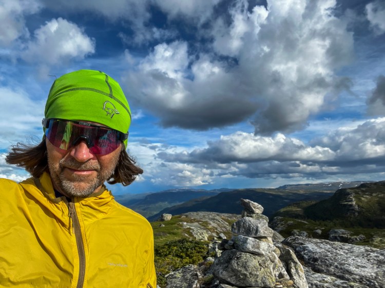
A grim face
Høgelinatten ahead
Almost up on Høgelinatten
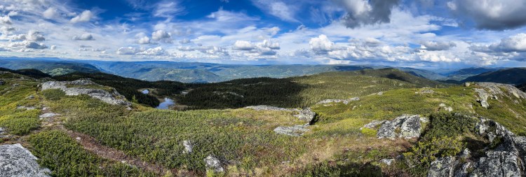
Hallingdal view
On top of Høgelinatten
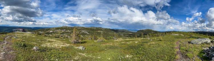
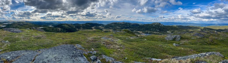
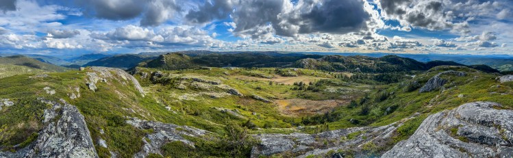
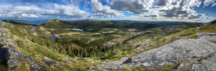
Panorama view from Høgelinatten
Panorama view from Høgelinatten
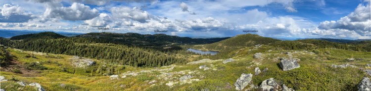
Syningen (left) and Sjåfunatten seen from Høgelinatten
Syningen (left) and Sjåfunatten seen from Høgelinatten


No comments:
Post a Comment